Linkt | Traffic & Road Webcams |

Sadly, the webcams have disappeared but a single map covering greater Melbourne can still be seen.
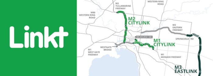
Divided into two sections, the Southern and Western Links connects the Tullamarine Freeway, the West Gate Freeway and the Monash Freeway.
Live traffic conditions across Melbourne
Traffic cameras and CCTV
According to the Department of Transport and Planning there are more than 1,000 Department of Transport and Planning traffic surveillance cameras available for Traffic Operations Centre (TOC) staff to identify incidents on the road network.
Not one of these cameras can be seen by the public?
Traffic CCTV
Department of Transport and Planning currently provides 40 CCTV images to the Department of Transport and Planning website and the VicTraffic website. These images are provided by cameras placed at strategic locations across the network and are designed to provide users with an image every two minutes of current traffic conditions at that location. The still images, provided in near real-time, give users improved information to allow them to plan their trip before travelling.
October 2024 images not available to the public?
❊ Web Links ❊
➼ Linkt | Traffic & Road Webcams
➼ Webcams Map
➼ www.twitter.com/citylinkmelb
❊ Also See... ❊
➼ Linkt | Transurban
Disclaimer: Check with the venue (web links) before making plans, travelling or buying tickets.
Accessibility: Contact the venue for accessibility information.
Update Page


