The Melbourne Map |

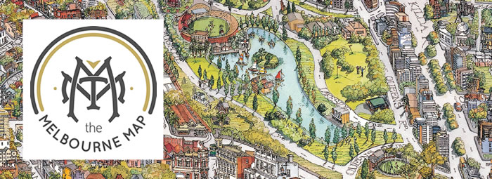
Four years and over 8,000 hours of research, design and illustration later, we proudly present, The Melbourne Map.
The first Melbourne Map published in 1990 became the highest selling poster of its time, making its way into tens of thousands of homes and businesses.
The (new) Melbourne Map line drawing is completely hand illustrated adding in Federation Square, Docklands precinct, the new Melbourne Sport & Entertainment precincts, Birrarung Marr, Crown and Southbank, Southern Cross Station, Melbourne Museum and new city buildings. This version has been extended to the north and over into the Western suburbs, to include Williamstown, Newport, Yarraville, Seddon, Footscray etc.
Secure your copy of this Melbourne keepsake today.
Shop Online
The Melbourne Map is proudly designed and manufactured in Australia.
The Melbourne Map - Colour
 Limited Edition of 300 - 1550mm x 1120mm (the same size as the original)
 Limited Edition of 1000 - 1120mm x 828mm
 Open edition black & white and colour art prints - 950mm x 695mm
The Melbourne Map - Black & White
 Limited Edition of 300 - 1550mm x 1120mm (the same size as the original)
 Limited Edition of 1000 - 1120mm x 828mm
 Open edition black & white and colour art prints - 950mm x 695mm
Vintage 1991 Colour Poster - The Melbourne Map
 Small - 600mm x 460mm
 Large - 920mm x 700mm
Shop Online
Stockist
Clementines Fine Food & Gifts
7 Degraves Street, Melbourne (Flinders Street end).
Melbournalia
50 Bourke Street, Melbourne
❊ Web Links ❊
➼ The Melbourne Map
❊ Also See... ❊
➼ The Melbourne Map Jigsaw Puzzle
Disclaimer: Check with the venue (web links) before making plans, travelling or buying tickets.
Accessibility: Contact the venue for accessibility information.
Update Page


